
Finding the North Star mine is a hard one.
We’ve been wanting to locate the North Star mine and where they were mining. We think we already know the mill site location.
On New Years day I went out on my own, with the objective of finding what looked like a quartz deposit near the Drivers Flat territory. We thought it would be the North Star mine. We had marked the spot on the trail there to drop down the mountain to find the outcropping. We flagged the trail spot earlier so that we would drop down at the right place. It was right at what I called the heart tree. There is a big Manzanita bush there with hearts carved on it from times past. A good marker.
First though I went to the mill area right there at the beginning. I wanted to follow the old road around the hill there, to see if it would go to their mining area. I did find the old road and followed it for a good hundred yards. It was covered with downed trees so I finally went off the road and up on the hillside, where the going turned out to be even rougher. I did see what might have been a collapsed shaft area but it was full of water. My objective was to find the road and I had done that so I stopped and headed back to the trail so I could go find the quartz outcropping on the mountainside that we had designated as the North Star. Here’s a picture of the old road:
Here’s the old road across from the mill site. I think it heads towards the diggings and perhaps tunnels.
After this area, I went on the trail to the heart tree and down the mountain there, and sometimes it was rough brushy areas on hands and knees. I found a huge hydraulic cut where there was certainly an attempt to find the quartz vein system. I followed it down some and finally went more southwest and came to some really steep ground where I could see the North Fork of the American. I figured I had gone passed the outcropping for sure. I had my old Garman GPS system with me and took some readings so when I got back I could plot where I had been. I hiked most of the day.
We’ll start with a Google Earth Image.
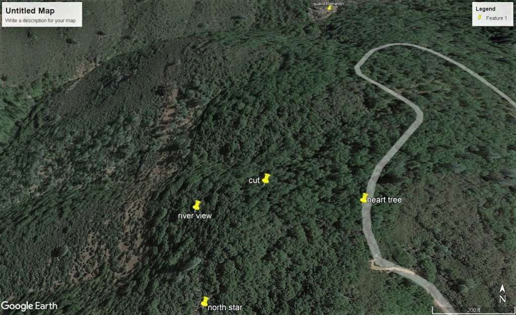
Here you see the heart tree marker and the cut, which was the hydraulic pit. Then you see my river view marker and that’s where I concluded I missed the North Star area. I had hiked down too much to the west instead of to the southwest. I should have brought my compass – that would have helped. It was sure a good hike down and back. After plotting this I planned on going back the next day, just for a few hours, to get some headings.
The next morning I started by myself, backpack on, and was just 50 feet from my truck headed to the trail where I head a beep, beep, beep of a car horn. It was Dawn! I had e-mailed her the previous evening I was going and she decided to join me on the hike. It was perfect timing. Knowing my hiking error from the previous day we headed down the mountain again from the heart tree..
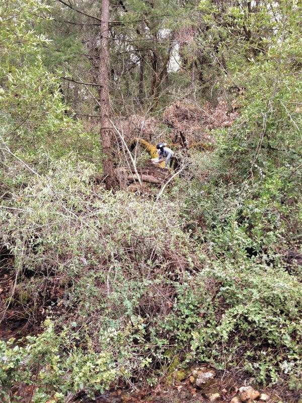
This was not simple hiking and it took us through some tough ground. This hike was really rough, wooded and loaded with brush and manzanita bushes, thick at times. She had a her I-phone that tracked us and we could see our direction better. It helped us a lot. She went to Google Earth on it as well. Getting the sounds simple but it was not.
Here’s where we got to:
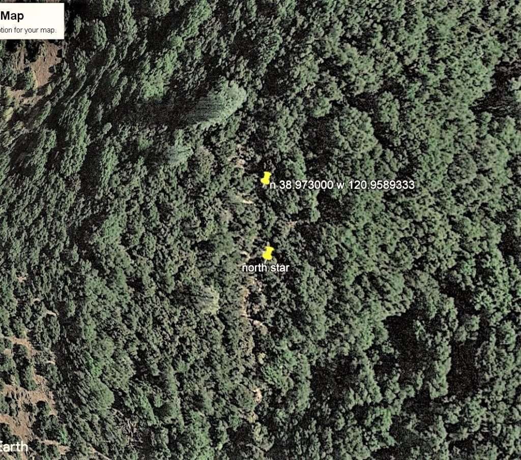
You can see here in this picture we were right on the strike of the faulting area after all our hiking down. Our pin here is showing the GPS coordinates of where we were. Guess what? It’s not quartz. Instead it’s a series of very large boulders and bedrock outcroppings along the faulting zone and there’s not much vegetation. Google Earth’s color view made it seem like quartz, at least initially, but it’s not. After this we hiked on out. If we want to go back, we won’t start at the heart tree. We now know where to start based on our coming out. The ground there got very steep.
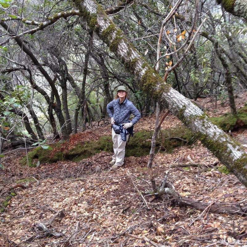
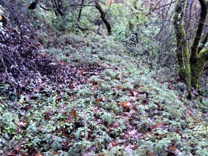
A small hydraulic cut further down the mountain and at a flatter spot. We also found an old camp where someone spent months there, maybe six or seven years ago. He left an absolute mess. It didn’t look like the person was a miner. Maybe someone on the run and this was a place to hide. It’s hard to get to unless you already know how to get there.
After this trip down to the outcroppings we did hiking and exploring some more at a different location, checking out an old house site and beyond.
This brings you up to date on the North Start so far. The next step is to go back and follow that old road around. It will be some brush cutting and maybe even an electric chain saw . I think that road will lead us to the mine site. I don’t think it is far around the mountain.
Our next day for here at the mine is this coming Wednesday. I need to change that to Thursday. That is supposed to be only one of the few days that it is not raining. We’ll meet here first and then maybe head out and find the workings of the North Star mine!
That’s it for now.
Thanks.
Don