Lots of times there are high bench gravels where a river channel was running before it cut its way deeper to its present course.
Sometimes you will find where the old channel was running above the present river and is still in place, although it has been worked in the 1860’s and 70’s. Here is a picture of an old piece of channel running above the present river.
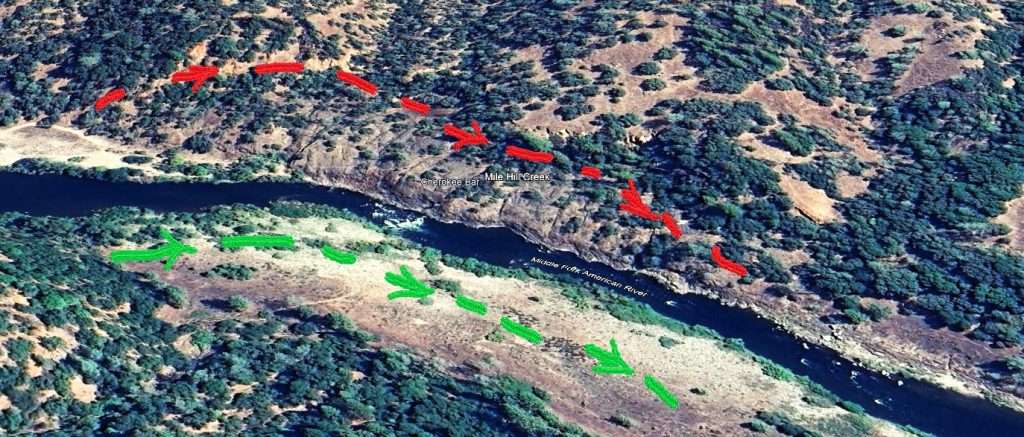
The red and green lines represent the river flow as it was just after the Eocene geologic period and during the inter-volcanic period times. The present course of the Middle Fork of the American cut out part of the old channel leaving part of it high above the river on the northeast side. That is the area with the red line territory. The green arrow side has all been eroded out leaving part of the old channel in place.
Here is a closer picture:
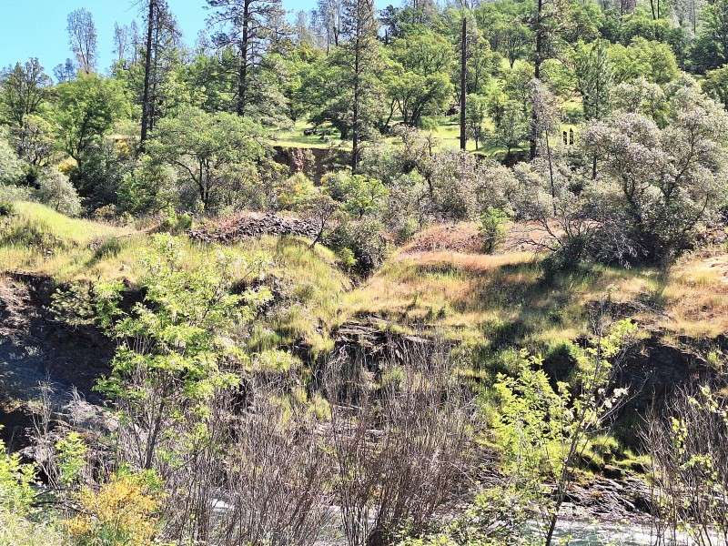
This is taken from the opposite side of the river. Here you can see the high bench area of the old channel flow and the hydraulic cuts made likely in the 1870’s.
Here in this picture it does not look that high above the river but it is. It is a good 50 feet above the present river flow. We should know – we were there Wednesday May 22nd. The rest of this article is about this adventure
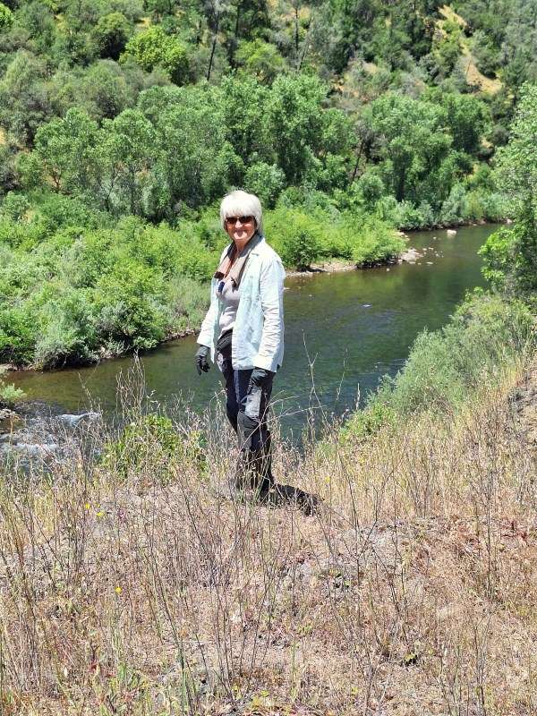
We left the town of Cool about 7:45 AM. Our exploration team was Jim, Deb, Jack, Joel and me. We went down on an old road called the Sliger Mine Road. It was a three-mile trip down and it is a four-wheel drive road that is all humps, bumps, rocky and eroded out badly in some places. We got down to where we were going though, with plenty of parking area on a flat river bar.
There was supposed to be an old trail along the top of this high bench but we could not find it. There was plenty of bedrock along the river so we prospected there initially.
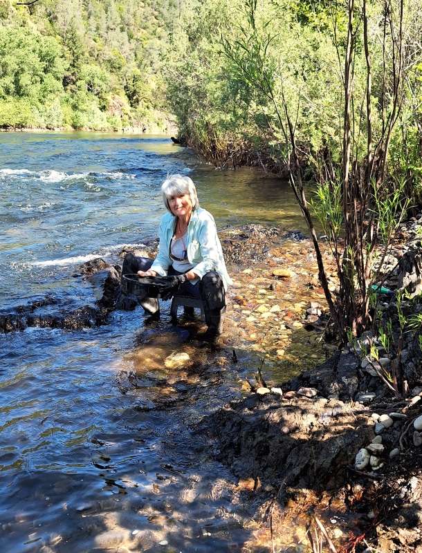
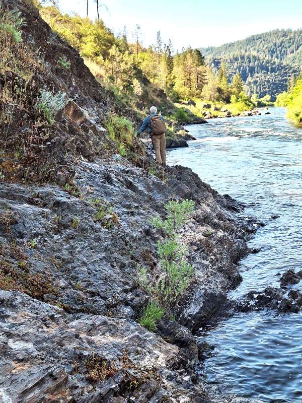
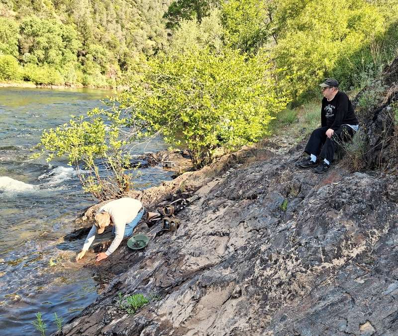
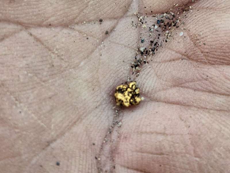
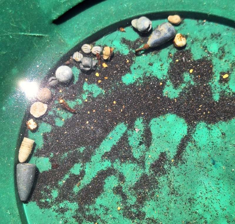
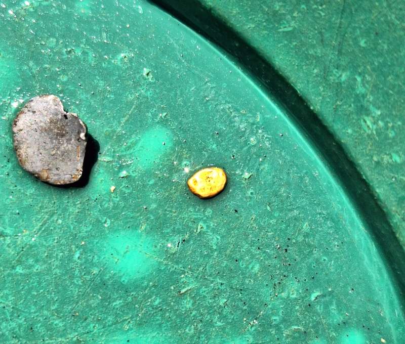
While everyone was prospecting here I decided to go on up and find a way to get onto the high bench where the old channel flowed. We need to get up there and see what it looked like and what chances we might have to find some gold. By this time it was already noon so there was not a lot of time left to find my way. I wanted to find an easier way so the rest of our crew could make it up.
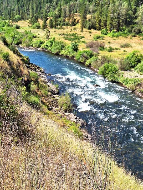
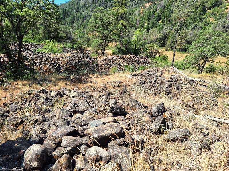
I took this picture when I was up on top where the old river flowed. These are old workings with numerous hydraulic cuts to drain the water from where they were working.
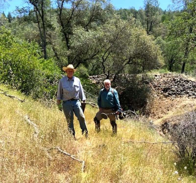
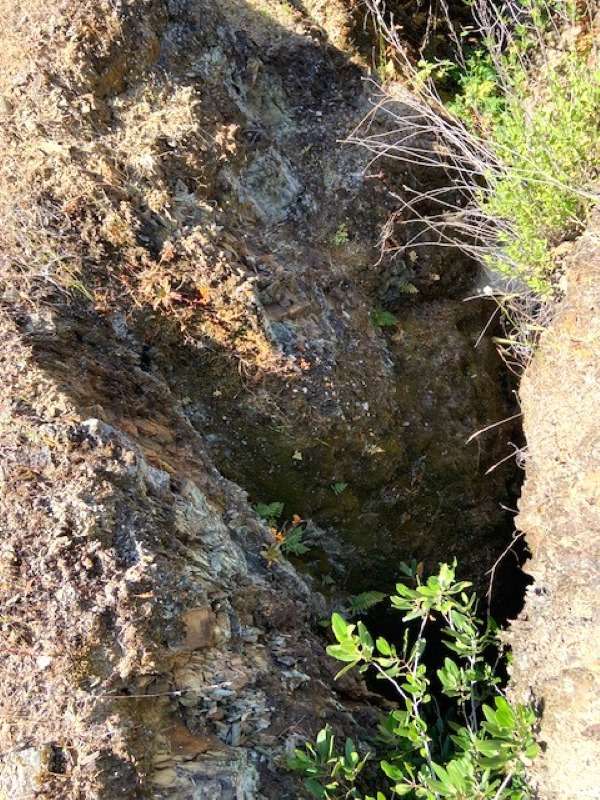
This ended our exploration trip. This high bench of the old river flow needs more exploration. The road is so difficult to drive on that we’ll wait until the river drops way down and is crossable. We’ll hike in from the other side of the river and cross over to this area we want to explore more. Surely there is still good gold there!
That’s it for now. There will be a follow up later in a month or two. We’ll go as soon as the river is crossable!
Don
