Thanksgiving Day 2024.The day started out on the trail at 9:05 AM.
This time I wanted to go somewhere new for me and hopefully find an area to prospect and pan for some gold! I’m normally hiking on the North Fork of the American so I chose to check out some of the Middle Fork of the American river. Down below Auburn is the confluence of the North and Middle Forks and on the Eldorado County side is a trail that goes up the Middle Fork. It passes a old Limestone quarry and on up past some historic mining sites, and extending further for over 8 miles to an old river Bar called the Maine and Poverty bars.
I did some research on this trail from the confluence the day before, and got a decent map from State Parks. I had seen a bar called Brown’s Bar and I asked about it when I saw the map. The State Parks gal said it was 3.5 miles up that trail and there was a sign there so I would know when I got there. I was concerned about private property because internet research said the area at Brown’s Bar was private but State Parks didn’t think so because it was under their control.
So off and running! This map shows the beginning:
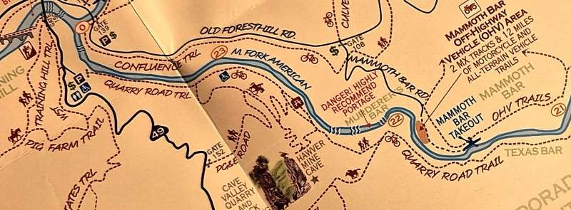
The starting point is in the upper left corner and the trail extends along the river, which is flowing from the right to the left. The north side of the river is in Placer County and the south side Eldorado County. I was hiking the south side.
Going up stream on the Quarry Road Trail you pass the Hawver Mine cave, which was through Limestone. This cave has a long history and right now it’s locked up. Going on up stream passes Murderer’s Bar and an old townsite. Further on is the Mammoth Bar Off-road vehicle area (on the Placer County side), and a Texas Bar on the Eldorado County side.
This map covers about two miles.
The next maps shows the entire distance from the Starting Point to the end of the trail, that reaches Poverty bar. Here’s the map:

The trail starts in the upper left corner (S) and goes to Brown’s Bar (B). (I put the letters on the map) To Brown’s Bar is 3.5 miles from the start. Further is point H, which is 4.5 miles from the start. I’ll explain about point H later! it was a bright, sunny morning but I didn’t see the sun until I got to point B. it was all shaded by the mountainside.
The hike started out cold, with ice on the trail some. it was in the shade all the way.
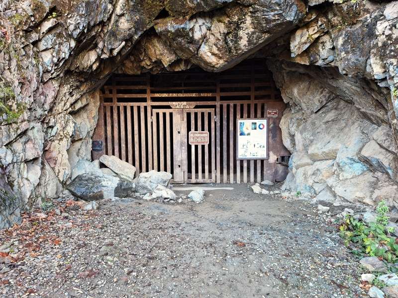
Here’s the Hawver tunnel, locked up tight. There is a lot of history about it.
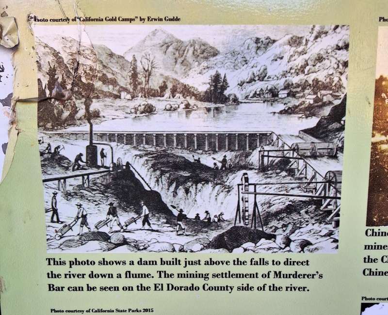
This picture was on one of their poster boards there. it shows fluming the river and the Murderer’s Bar townsite on the Eldorado County side.
Maybe on a later trip we can find that townsite along the river. Might be a gold coin there – if we can get to it.
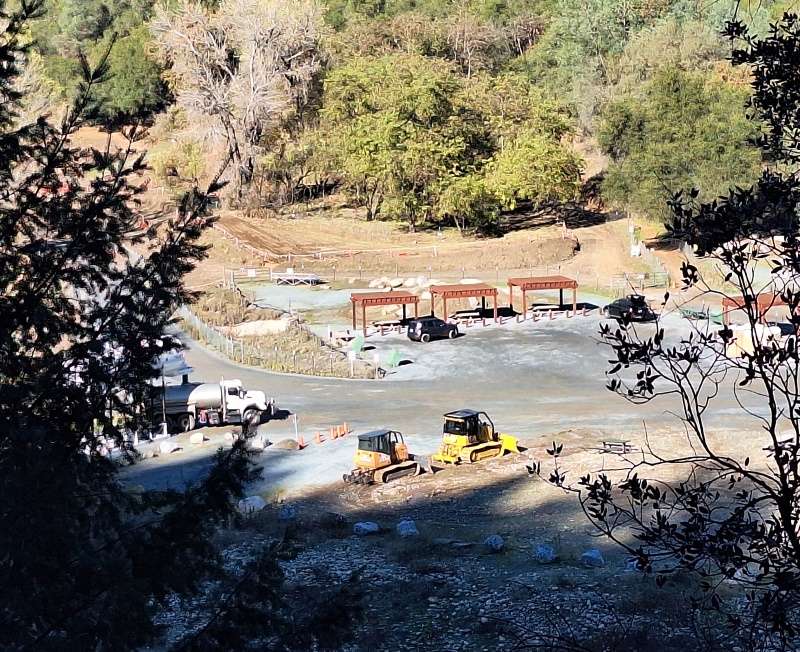
Further on I looked across the river to this Mammoth Bar OHV center.
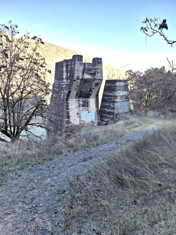
Part of the old Limestone Quarry works.
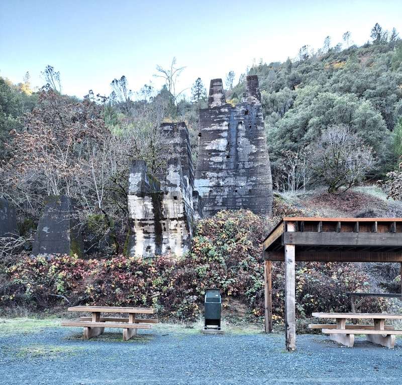
There is a rest area that is about 1.5 miles from the start. At this point there were lots of people on the trail. After this they dropped off quickly.
At 2.5 miles there was just me, along with a few runners.
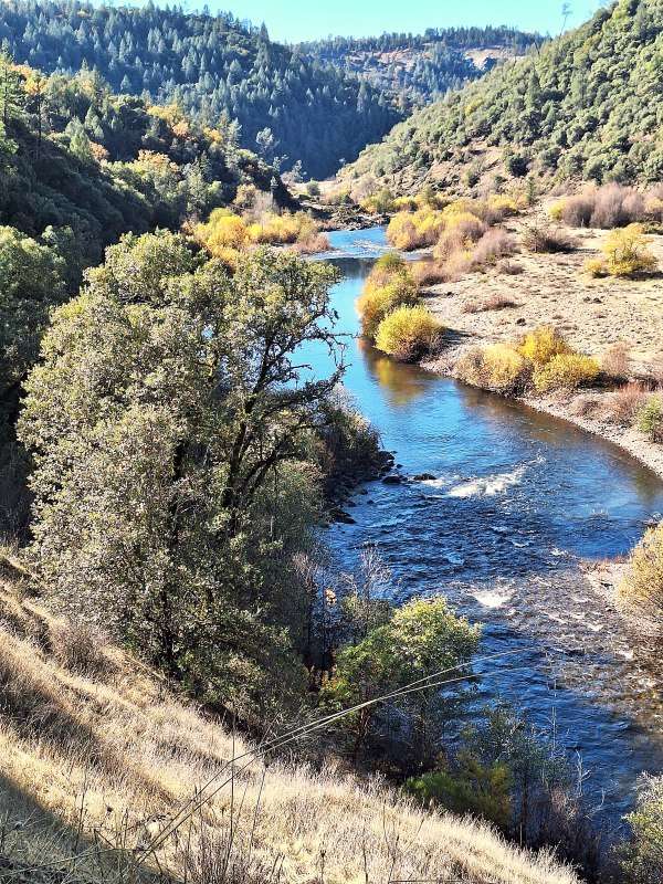
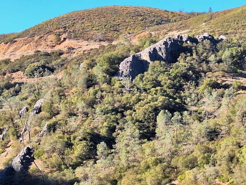
There were many beautiful views along the way. Sometimes the road was about 100 feet above the river and a few times it was very close.
I saw several areas that should be checked out. I was pushing to reach Brown’s Bar first, only because that was my objective.
As I was hiking, and still not there, I was startled by a sound just behind me and a lady hiker swung by. She was tall, slender, dressed in black, and moved like a wild cat! She stopped though and said she didn’t mean to startle me. We had a short conversation and I asked her about Brown’s Bar. She said I had about a half mile to go and it wouldn’t take long. I asked her how far she was going and she said until she got tired! Then off she went, as light footed as I’ve even seen a runner.
I kept hiking and it seemed like I was never going to find the Brown’s bar sign. I didn’t ask the lady runner about the sign. I just went on the basis it was there.
I had been hiking for two hours now and surely I was close! I was getting tired too. Then I spotted a good sized river bar up ahead and the trail went right next to it. Yep, this was surely it. Another 10 minutes hiking up the hill and in the distance I saw a runner headed my way. It was the gal I had talked with before. She was on her way back and stopped and asked how far I was going? I said I was surely at Brown’s Bar. She laughed and told me I had passed it about a mile and a half ago. She explained there was a trail that broke off to the right and there was a sign on it saying “no bicycles’. That was the sign that indicated where the bar was. I asked how far to the starting area and she said that I’ would have a 9 mile round trip hike if I headed back right then!
Where I got to is point H on the map. In another hour or two I would have been to Maine and Poverty bars.
This was a 20 mile jog for her. To me she looked about 50 years old or even younger. She was obviously in great shape and she looked it.. In our conversation, I apologized for one question. I asked how old she was! She just smiled and said I’m 64. I was sure surprised. Amazing. She asked me the same question and I said 85. She was very complementary.. She laughed as she started back to jog again. She said my husband is home in a recliner. He’s 85. And then she was off and seemingly floating along at a fast pace.
Now for pictures.
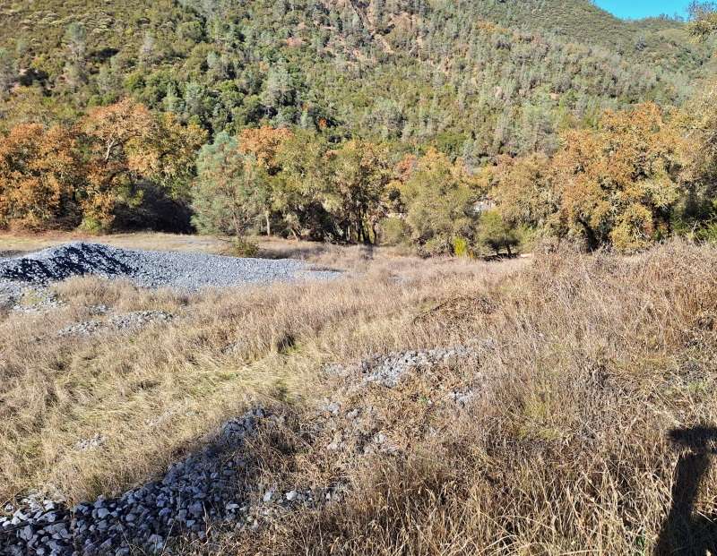
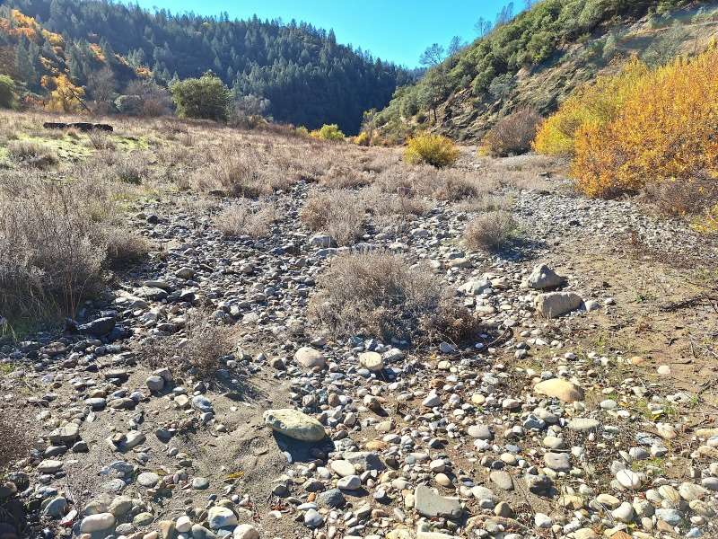
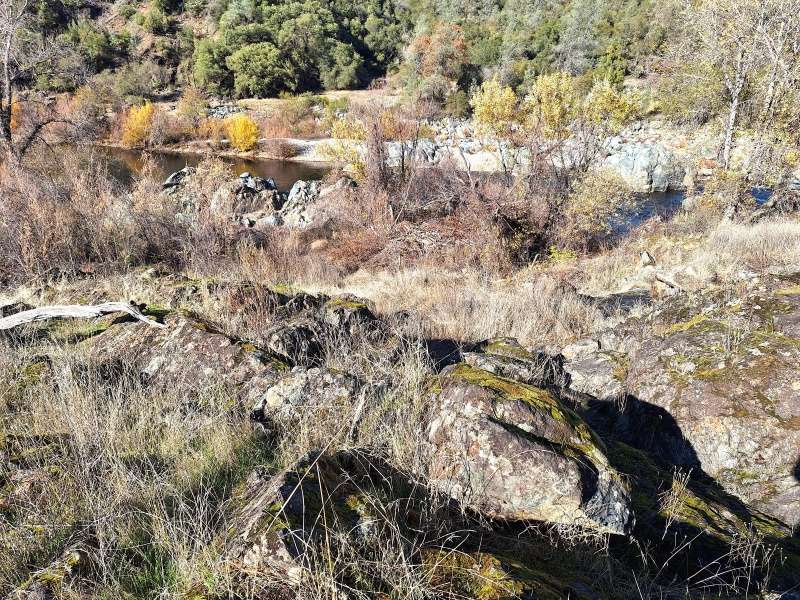
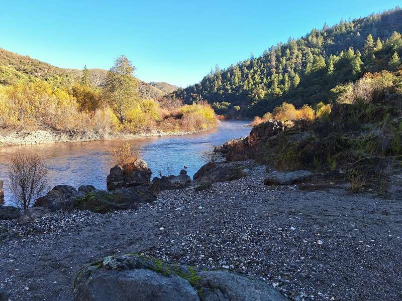
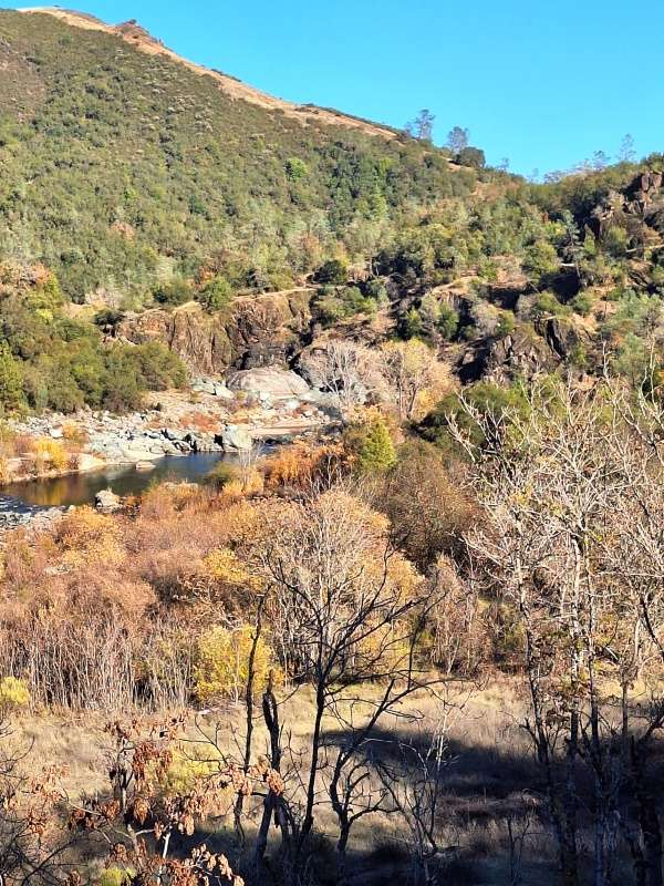
My intention on this hike was to gold pan! As it was I only ran three pans in an area that really wasn’t promising. There was black sand but no gold.
This ended up as all exploration and there are some areas to come back to. Is there gold there? These are big river bars and not a lot of bedrock showing.
There is gold up towards Poverty Bar and the earlier picture shows fluming the river and cleaning out a big crevice. There is at least hope!
I’ll be going back!
Until soon.
Don
