I had just read the excellent article by Chis Ralph “Preparing for the 2021 Mining Season”. Well done Chris.
Like Chris, I’m preparing for the upcoming season which, with this beautiful weather, is knocking on the door. Every year I go through this and every year it becomes more difficult to find new territory that is available for us to prospect on. Is there anywhere that hasn’t been missed? The old timers of the gold rush era of 1849 – 1900 didn’t miss much, and what they might have missed the miners of the great depression picked up with their meticulous work. What does that leave us?
First to bypass some detailed research that I’ll cover, there is one area a lot of us miss and one that we should always watch out for. I’m talking about new road cuts made by our modern-day equipment. Particularly logging company work, especially in and on National Forest and BLM managed lands. Getting to these timber cut areas require new roads, which are almost always on dirt and many times cutting bedrock. These new cuts are exposing ground that has not been seen before and these new roads can cut vein deposits that could be bearing.
Last year a friend of mine, who works for a logging company, was going down a new cut on the side of a mountain, and stopped to examine what appeared to be a quartz outcropping. He later showed me the football size pieces of beautiful quartz crystals, all broken out of the vein there. Not visible gold, but never detected either. He then spotted the vein outcropping here and there along its strike up the mountain side. This territory is known for its paying veins. I don’t think this potential prospect has even been looked at yet.
For known gold finds on new road cuts, there is one in the State of Nevada that’s outstanding. About nine years ago I saw the gold pieces found there and they were startling. Somewhere in my files I have the pictures I took. They were softball size pieces of hard rock gold and were found along the new cut, but pushed over the side as the dozer cut its way through. This was a big haulage road and the deposit cut was not visible, according to those who found the gold. I was in California when this happened but I saw pictures of where the gold specimens were found – but I didn’t know the specific location. I don’t know what happened after that. Everything became very quiet about that project. Wonder why? 🙂
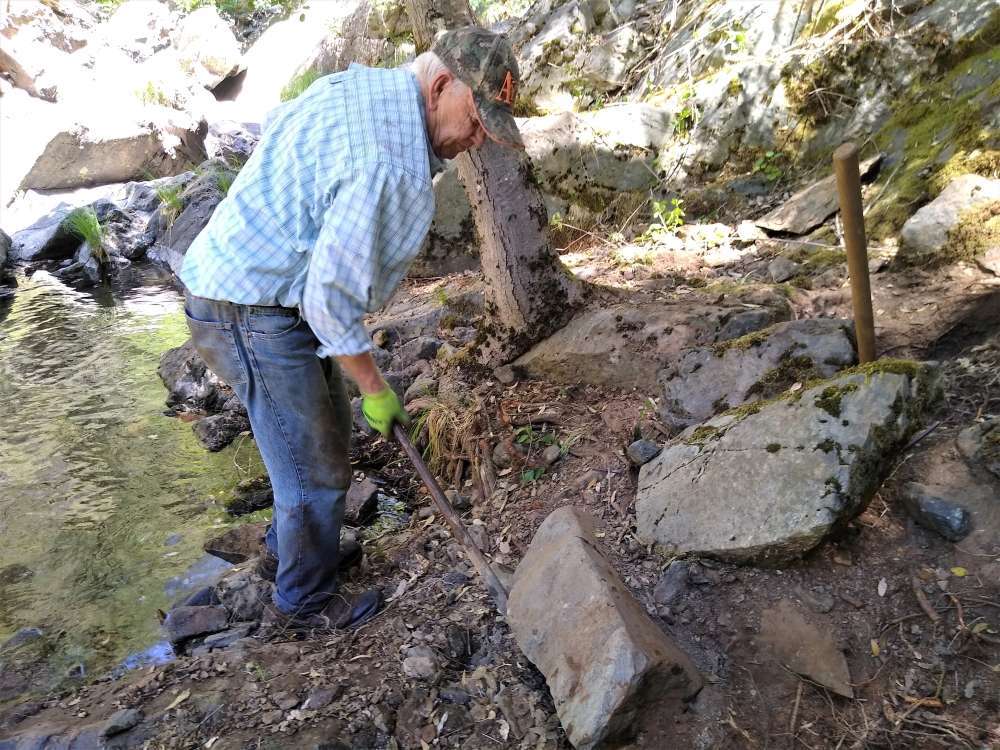
These road cuts can also expose old pieces of river channel, as happened two years ago up in the high country past the old mining town of Foresthill. There a prospector; following a road cut, found the top of a piece of channel that had not been worked. He said just about every pan showed color and before it was over he was finding nice nuggets and a mining claim of his own.
So goes new road cuts. There are other similar finds as well so keep your eyes open for these potentials.
The prospecting work I’m looking at right now starts with research. I’m looking for gold, hard rock or placer. There are so many sources that contain information about gold finds that it’s hard to decide where to start. It’s like the grass is always greener on the other side. You open one book and then start looking at another. It’s either hardback, special maps, or the internet, or just talking with others who provide leads for you to pursue.
Years ago I was a speaker in Placerville and there I covered prospecting and in that presentation I outlined various sources of mining data. Two sources that I considered excellent I’m pursing right now. One is called “Sierra Nevada Folios” published around 1898 by the Department of the Interior, USGS. The original publications were very large, measuring 18 x 22 inches, and each contained both text and full-page maps, both geologic and economic. The originals are expensive and I found some on the internet for around $100 each.
These maps were also published on a CD by SharingHistory.com who, unfortunately, are now out of business. The CDs were selling for around $15 each. I have one but I have not been able to find others that are available for sale. It’s my understanding these folios are now available on the internet as a free download. The value of the mapping is that they show economic values, meaning gold bearing vein systems and, in some cases, placer deposits. This is a great source for prospecting information.
The most valuable for me is the “Register of Mines and Minerals for Eleven Sierra Nevada Counties”. They cover most of the Mother Lode system of California. These registers are amazing in the information they provide about mines, both hard rock and placer. These registers provide great leads and I’ll be using them a lot this year.
Again, like the Sierra Nevada Folios, they are hard to find. SharingHistory.com also covered these as well but on the internet I have not been able to find them for you. No doubt they are there so don’t give up.
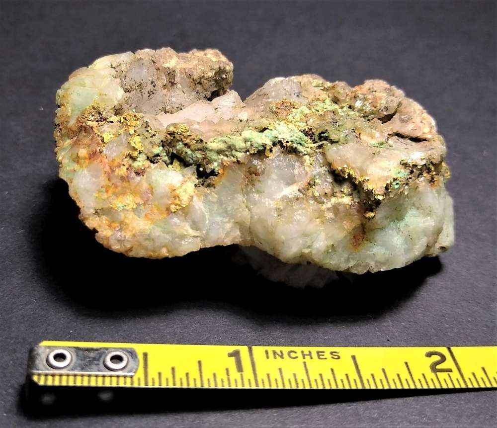
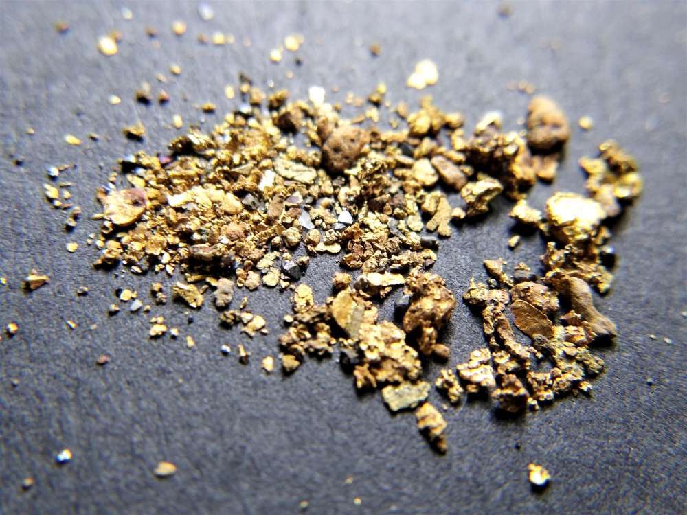
Right now I’m after hard rock deposits and old mills (with a few exceptions). I’ve been fortunate to find some really nice gold and quartz specimens at some hard rock deposits that, in one case, took me almost five prospecting trips to locate. It was well worth it. The history of many of these old mines has been lost over the last 120 years, and some are remote in areas that few people have prospected. The question becomes how to find them. These Registers of 1898-1905 are a great tool.
They are straight forward but lengthy. Just to check things out, I printed a starting listing of Placer County Quartz mines and it took two sheets of paper taped together in a landscape format just to cover the data available. For example, on a named hard rock mine it could show its location by township, range and section: elevation; number of veins; width of the vein; strike and dips; ore character; hanging wall and footwall compositions; the mine developments in terms of shaft, tunnels, and open cuts; it shows if there was a mill, and who the owners were. This same type of data exists specifically for mills and their locations, and it includes placer mines of that area as well. I don’t want to bore you with more of this information but just want to let you know there is a lot of data available for your review.
Knowing the character of the ore is very important. For example one mine shows the ore as ‘quartz, free gold, and sulphurets’. When you’re checking the mine out you’ll be looking for quartz with pyrites to find the gold. Sulphurets is an older term meaning a mineral carrying sulfur, which is normally iron pyrite, arsenopyrite, or chalcopyrite. This also tells you that the ore is free milling, meaning the gold breaks out when crushed. Some of it could also be complex ore because of the sulfides. I’ve seen ore 50 % free milling and 50% tied up in pyrites.
I mentioned before there are many great sources of mining information. The best of all is for the mines in the state of Nevada. The source is the Nevada Bureau of Mines and Geology in Reno Nevada. I’ve been there many times and unfortunately they are presently closed because of the virus, but you can still order publications. Hopefully they will open their doors again soon. Check them out at http://www.nbmg.unr.edu/
Research is a great tool, but reading doesn’t get you there. It’s true that Google Earth and Google Maps really help and maybe even guide you some, but being there is a world of difference when you’re there.
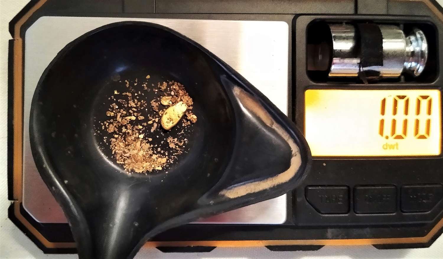
We’re already pursing one of these mines I’ve done the research on. I can’t write much about it yet because I don’t have the answers and we’re still hunting! I do plan on writing about it later (after we find some nice gold – it says in fine print). The search was initiated by a paragraph in an 1882 Placer County History book. That led to an 1873 Eldorado County map by Bowman which showed the general mining location. With that knowledge I proceeded to look through the above data, and now, finally, foot work! Any gold yet? Yes, some fine gold from crushing some quartz samples. Not enough to brag about though but the rock is showing color. This hunt is only beginning. One important tool so far in this exploration has been the compass. Why? You would think that after 42 years of prospecting I wouldn’t get lost. Not exactly lost, but without trails and a cloudy sky, a direction can easily get moved around some. It did this time and it won’t be the last.
One prospect just finished didn’t pan out. It was at an old stamp mill that was deep in the California woods and long forgotten. It had two banks of stamps and situated on a very steep, rough hillside. The main problem was at least 90 years of pine needle accumulation, downed trees, heavy brush and hillside erosion. Basically, everything was buried at least a foot or so down and the detectors couldn’t find anything but lots of old medal. Metal is a common problem around old mills. I always look for their tailing piles or the veins in place.
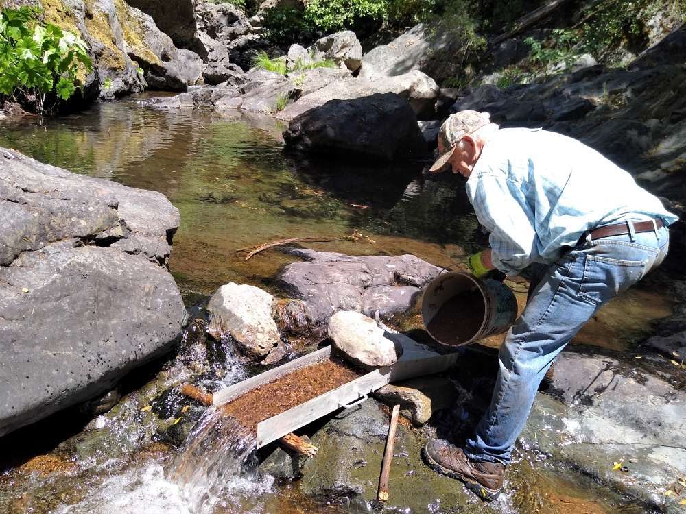
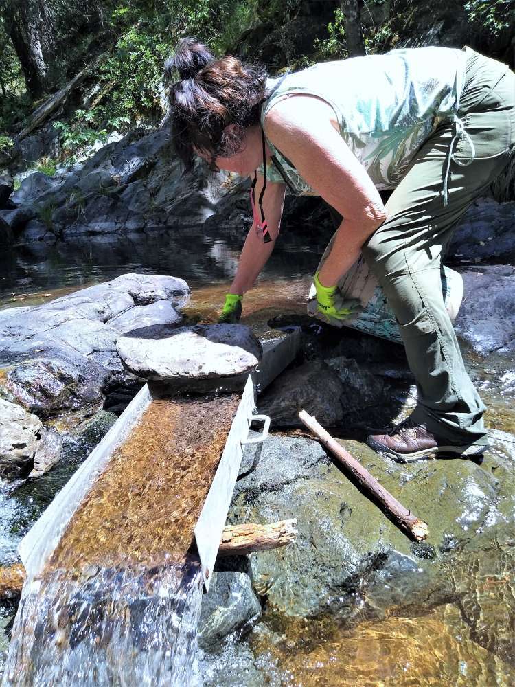
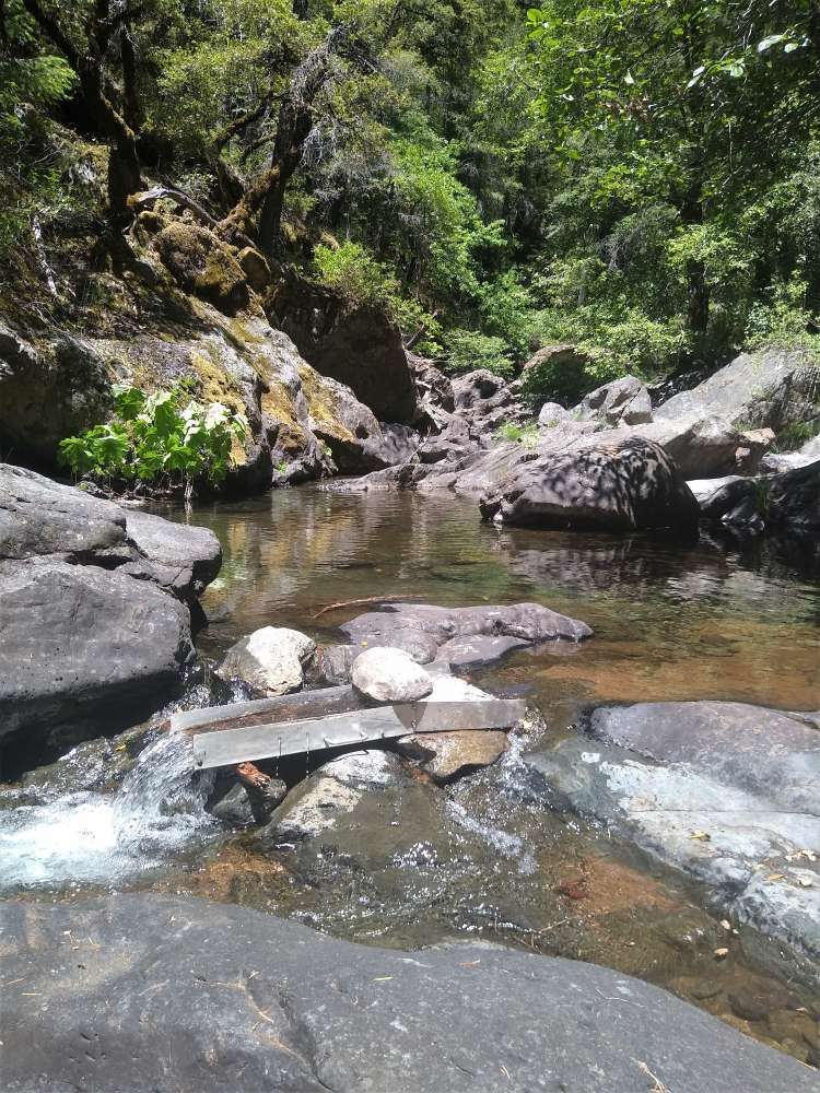
In prospecting we pursue many avenues, and I try to look at all the alternatives. That includes hydraulic pits, drifts, washes and rivers, and hard rock potentials. The old saying of “gold is where you find it” is so true. But if you don’t get out there it’s never going to happen.
Until soon!
Don